Cicerone Map Booklet Großbritannien - Walking the South West Coast Path, Band 2, 1:25.000
1:25,000 OS Route Mapping

Tags
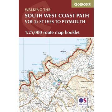
Map of part of the southern section of the 630 mile (1014km) South West Coast Path National Trail. Covers the trail from St Ives to Plymouth along the west Cornwall and Devon coastline. This convenient and compact booklet of Ordnance Survey 1:25,000 maps shows the route, providing all of the mapping you need to walk the trail in either direction.
Gewicht:
120 g
Autor:
Verlag:
Reihe:
Maßstab:
1:25.000
Medienart:
Bücher
EAN:
9781852849375
Erscheinungsjahr:
2017
Kontinent: Europa
Bundesland / Provinz: England
Region: südengland, Devon
Orte / Berge / Seen: Plymouth
Kategorien: Wanderführer, Weitwandern