Anavasi Topo Island Map 10.40, Hydra 1:25.000
Ägäis

Tags
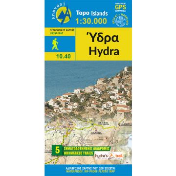
The hiking map of Hydra by Anavasi editions is now in a scale 1:30 000 and fully updated. It shows the network of waymarked paths, beaches, places of interest on the backgroung of a clear topographical map. On the back of the map, find a handy city plan and the routes of Hydra trail running race. All hiking trails are explained by comments, text and photos.
The map is printed on waterproof "polyart" paper.
Verlag:
Reihe:
Maßstab:
1:25.000
Medienart:
Karten
Sprache:
Deutsch, Englisch, Französisch, Italienisch, Neugriechisch
EAN:
9789608195721
Erscheinungsjahr:
2017


