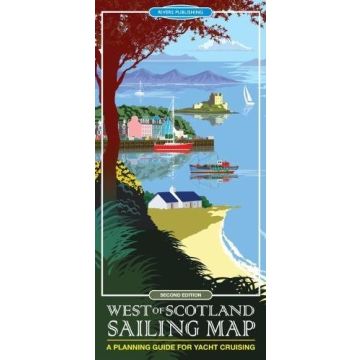
West of Scotland Sailing Map
Schottland

Tags
This high quality topographical map is specially designed to show the 'Big Picture' for yachtsmen planning a cruise in the West of Scotland. The map covers the sailing area from the Clyde to Ullapool and the Outer Hebrides as far north as Stornaway and provides a unique combination of the best information shown on a conventional road map and selected nautical details.
The topographical base map is detailed and shows the information important to most visitors- towns, villages, roads, railways, stations, ferry crossings, airports, islands, bays, headlands, straits, mountains, relief, rivers and lakes. Sailing information is superimposed over this, highlighted in brighter colours to stand out, and includes marinas, pontoons, visitor moorings, selected anchorages, diesel supplies, areas with especially strong tidal streams, and a few selected pubs.
The map is designed to be convenient and user friendly with the information shown as simply and clearly as possible. There are guidance notes and links to further information sources.
The author, Mike McDonald, has been a Yachtmaster Instructor and has lived in and sailed the West Coast of Scotland for many years and in many different boats.
Produktdetails: EAN: 9780995751323 Auflage: 2. Aufl. 2018
Produktdetails: EAN: 9780995751323 Auflage: 2. Aufl. 2018
Kategorien: Seekarten Britische Inseln