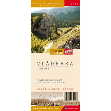
Wanderkarte MN-13, Vlădeasa 1:65.000
Rumänische Westkarpaten

Tags
The Vladeasa Mountains are the northernmost of the three high central massifs of the Western Transylvanian (Apuseni) Mountains. The highest peak is Vladeasa Peak, with an elevation of 1,836 m.
To the north, the massif extends to Crisul Repede River. To the south, Crisul Pietros River - Boga Creek - Varasoaia Saddle - Somesul Cald River separate it from the Bihor Mountains. The western border with Padurea Craiului Mountains is represented by Iada Valley and Iedutului Valley, and the eastern border by the peaks situated to the east of Sacuieu Valley and Hentului Valley.
This delimitation is based on the geological structure, which is the main characteristic that distinguishes the massif from the neighbouring landforms. Draganului and Hentului valleys divide the massif into a western, a central and an eastern part.
The Vladeasa Mountains are fragmented by Draganului and Sacuieul valleys into three north-to-south divisions. The two valleys gather the waters of the massif almost entirely and flow into Crisul Repede River, facilitating access from the north towards the heart of the mountain. Dragan (Floroiu) Lake and Dam on Draganului Valley covers 290 ha, with 110 million cubic meters of water.
The map of Vladeasa Mountains MN13 is the 13th map of the new Muntii Nostri collection.
The map was edited using the latest mapping techniques and it was printed on moisture resistant paper. It is easy to read and simple to use due to the mapping styles, specific to Schubert & Franzke company, and as a result of practical information structuring. It is handy and everything is exactly where it should be. The map is useful for both hiking enthusiasts and professionals.
The Stana de Vale area was digitized at a more detailed scale: 1:40.000.
All the trails have been recorded in the field using a GPS. They are described in detail in both Romanian and English, some trails having representative images attached to them. Each trail has a technical box containing: trail marking checked in the field, trail route, profile with major landmarks, data on difficulty, length, total ascent, total descent, round-trip time, practicability depending on the season and so on. The map also contains the UTM grid, a projected coordinate metric system useful in the quick measurement of distances on the map. Shading and contour lines highlight the landscape and facilitate orientation.
Publisher:
Series:
Scale:
1:65.000
Product Type:
Maps
Language:
English, Romanian
EAN:
5948490930245
Year of publication:
2017